The Best Headland Photo Spots around Wollongong NSW in Australia
Explore Headland pictures of Wollongong NSW with the travel spots on a map
Download the Travel Map of Australia on Google Maps here
7 Headland Spots of Wollongong NSW on a Map
Pictures of Headland on the interacive map of Wollongong NSW
Download On Google Maps 🗺️📲Headland Spots and Pictures around Wollongong NSW
Discover popular destinations in Wollongong NSW with their travel guides
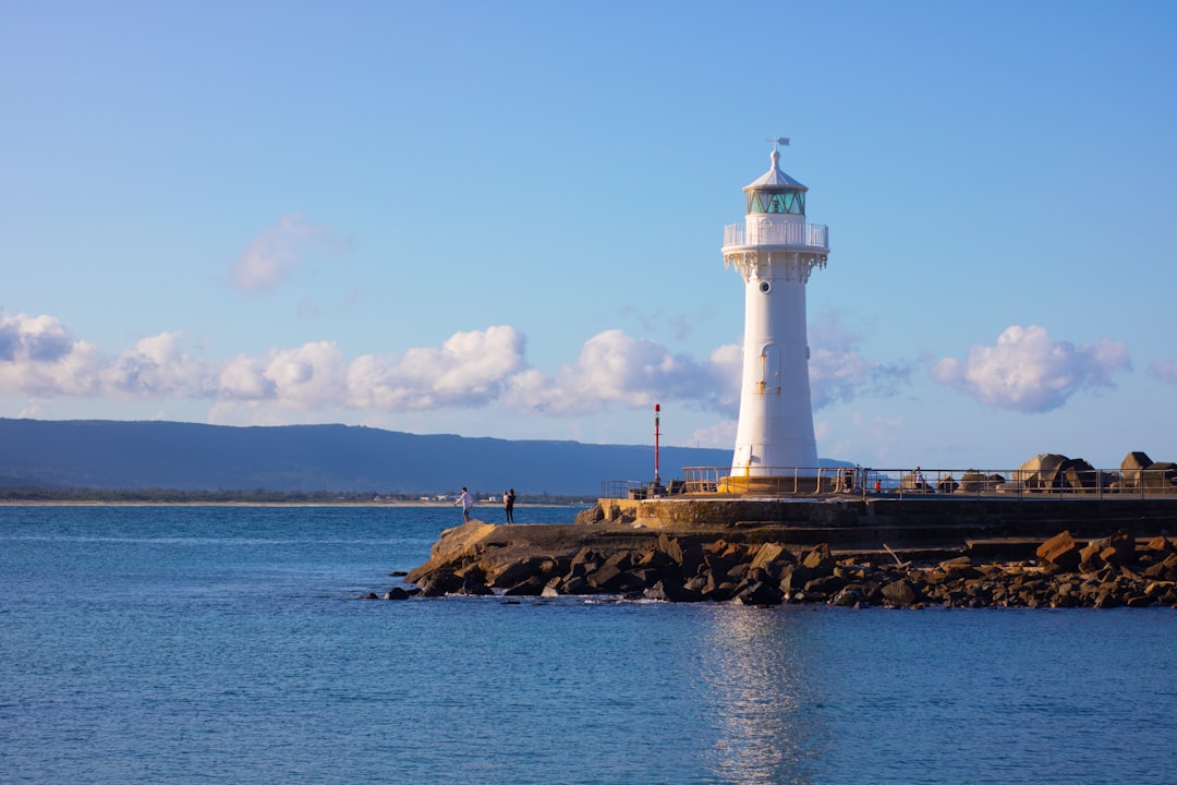
Wollongong Breakwater Lighthouse
Read the Travel guide View on Google Maps
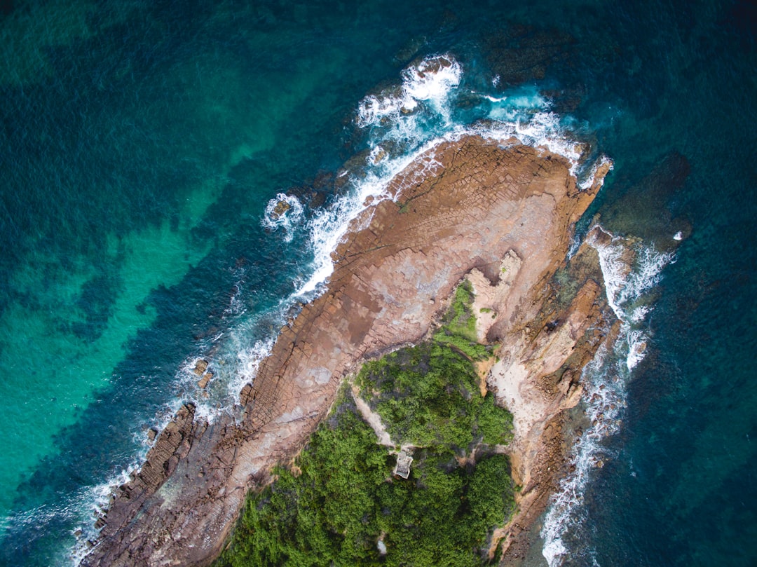
Boilers Point
7 km away from Wollongong NSW
Read the Travel guide View on Google Maps
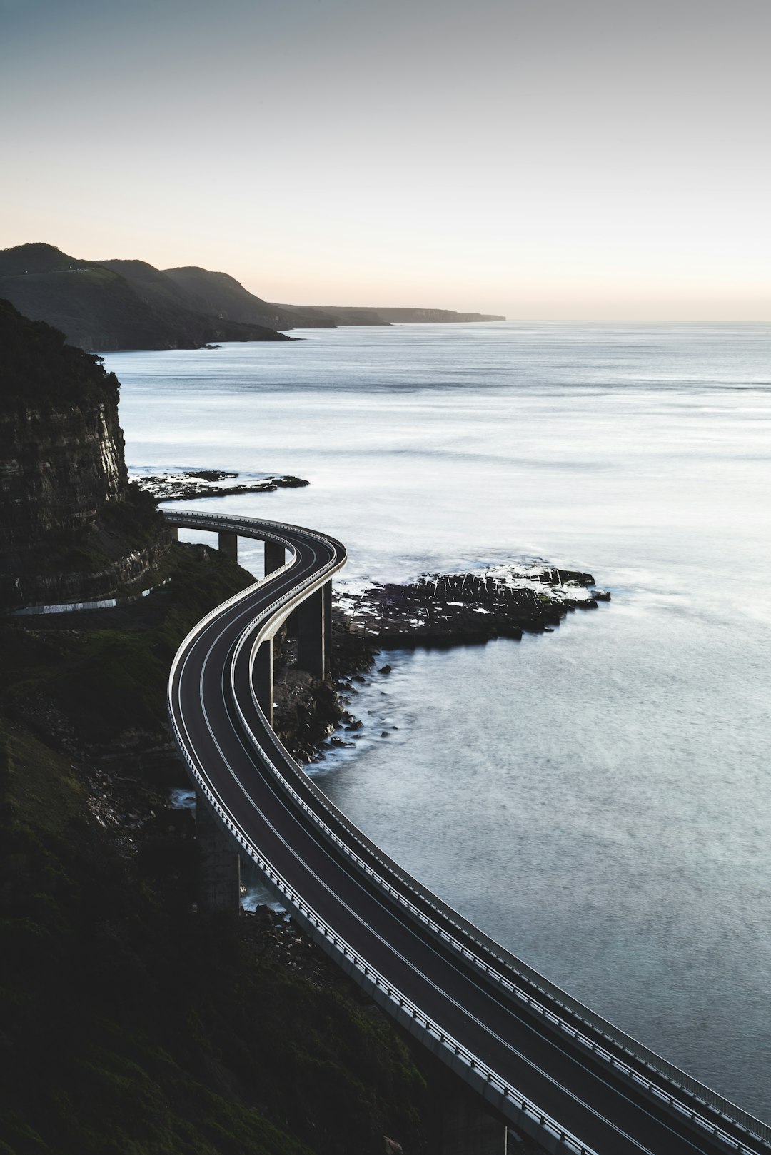
Sea Cliff Bridge
21 km away from Wollongong NSW
Read the Travel guide View on Google Maps
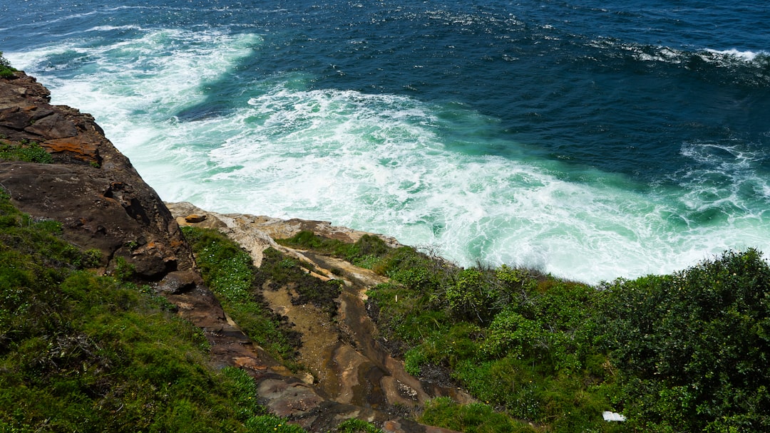
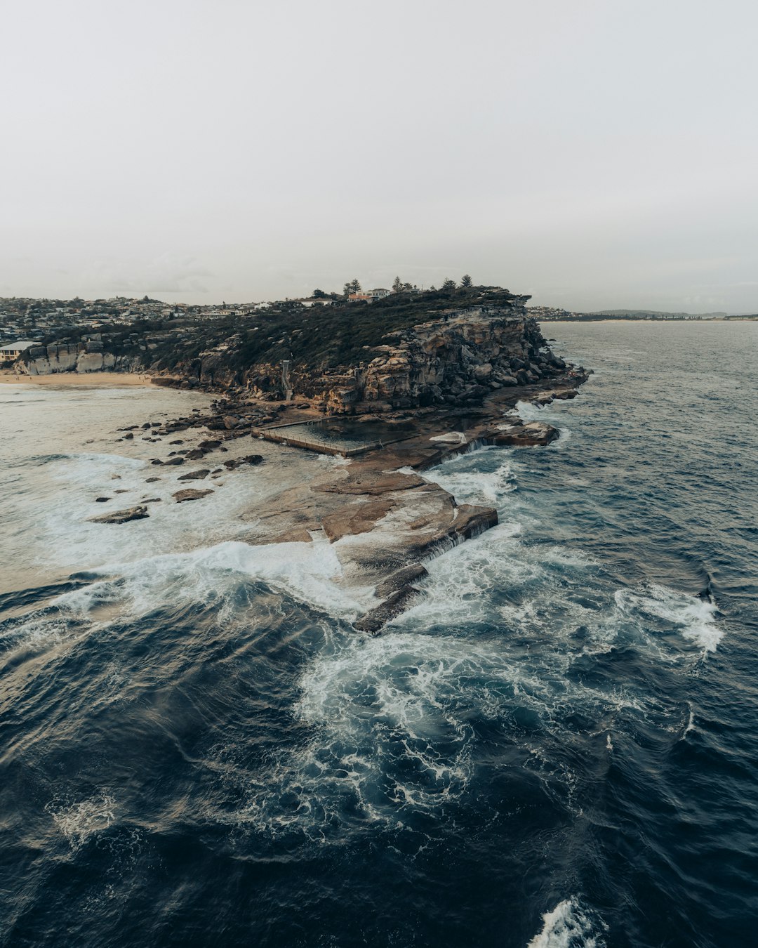
Shark Point
67 km away from Wollongong NSW
Read the Travel guide View on Google Maps
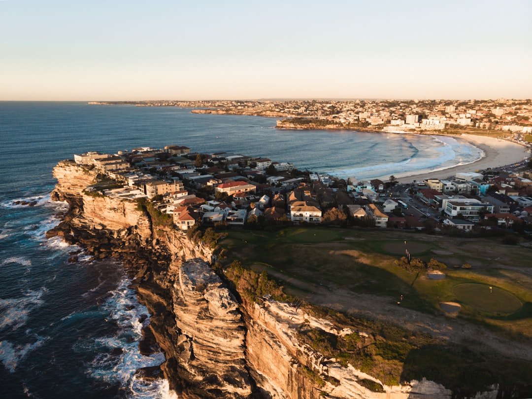
Bondi Beach
69 km away from Wollongong NSW
Read the Travel guide View on Google Maps
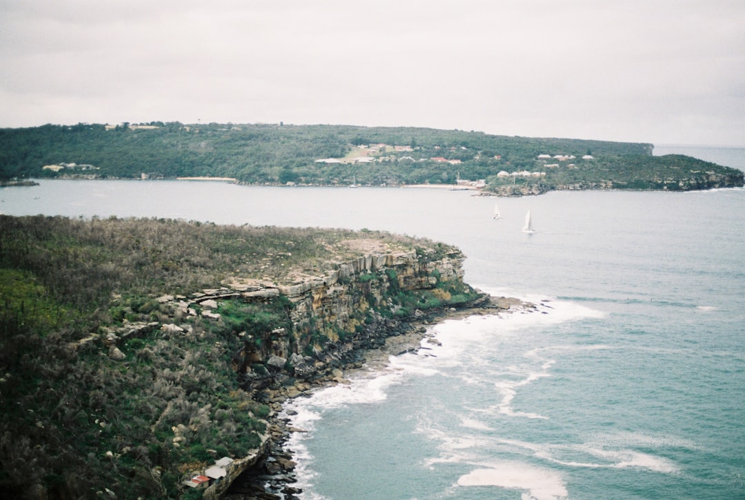
Manly NSW
78 km away from Wollongong NSW
Read the Travel guide View on Google Maps
North Curl Curl Beach
82 km away from Wollongong NSW
Read the Travel guide View on Google Maps
Book your Travel Experience in Wollongong NSW
Discover the best tours and activities in Wollongong NSW and book your travel experience today with our booking partners
Learn More about Wollongong NSW
Find Hotels in Wollongong NSW
Discover the best hotels around Wollongong NSW, Australia and book your stay today with our booking partner booking.com